
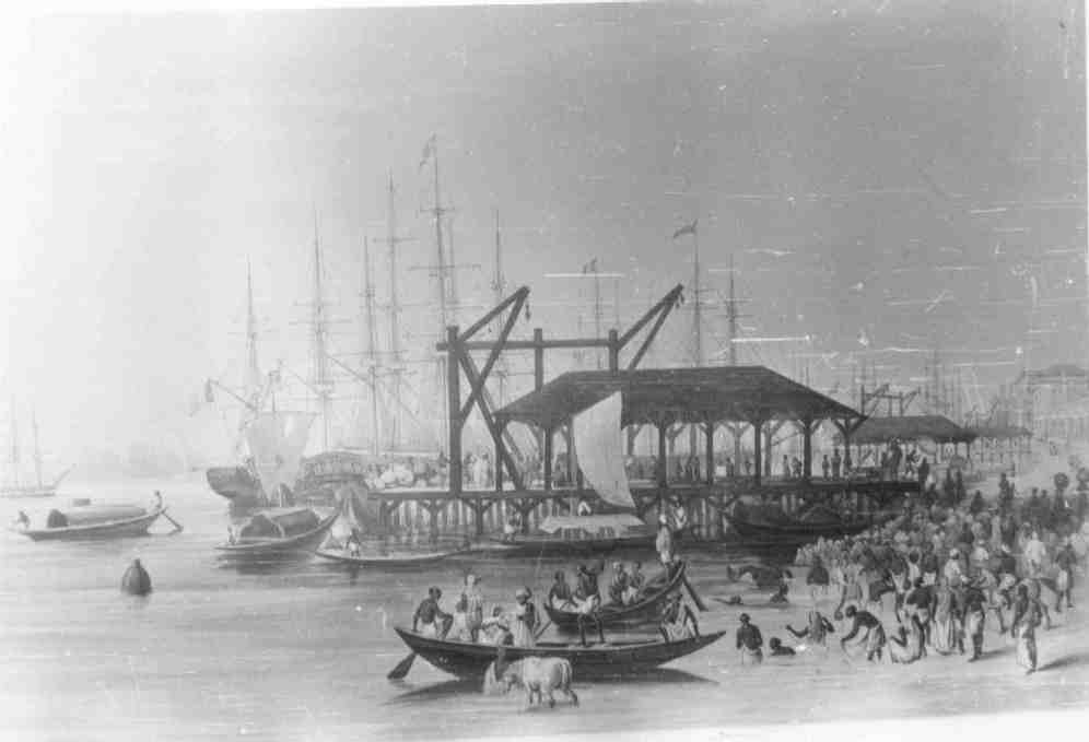
This cover was released on occasion of Golden Jubilee celebration of the Battle of Zojila by the 15 th Punjab(Patiala) Regiment on 01 November 1998.The cover has a ship stamp of the inpex 1993 stamp - Custom-house Wharf, Calcutta and a Children Day Stamp
Cover Details :
Zojila Location and History:
Zoji La s a high mountain pass in India, located on the Indian National Highway 1 between Srinagar and Leh in the western section of the Himalayan mountain range. Though often referred to as Zojila Pass in the foreign press, the correct English translation is Zoji Pass or simply Zojila, since the suffix 'La' itself means pass in several Himalayan languages. In modern-day North Indian languages, 'La' and 'Darra'are both used interchangeably to mean pass.
Zoji La is 9 km (5.6 mi) from Sonamarg and provides a vital link between Ladakh and Kashmir. It runs at an elevation of approximately 3,528 metres (11,575 ft), and is the second highest pass after Fotu La on the Srinagar-Leh National Highway. It is often closed during winter, though the Border Roads Organisation (BRO) is working to extend traffic to most parts of the year. The Beacon Force unit of the BRO is responsible for clearing and maintenance of the road during Winter.
Battle of Zojila:
Zoji La presented one of the most difficult terrains for the Indian Army. Srinagar was connected to Sonmarg by an 84 km one way fair weather road, with weak bridges unable to take heavy vehicles. The main bridges were in Wyle(29 km), Kangan (38km) and Gund (59 km). From Sonmarg to Baltal was a 14 km long track. Baltal was the junction for tracks from Srinagar, ZojiLa and Pahalgam. From here the track climbed steeply 2000 ft to Zoji La(11,578 ft). From the pass it continued on the same elevation with steep shoulders ranging to 16000 feet on both sides. Two nullahs flowed through this, the Bod Gumbhar Nar from west and Lokut Gumbhar Nar from the east. There is snow near these tracks even in summer. 3 km from Zoji La the path broadens into a flattish area called Gumri. A little away is Machoi from where the track descended into a large pastureland called Minamarg, at the end of which was Matayan village. 21 kms from Matayan was Dras (10,060 ft). Tall cliffs and ridges rising 5000 to 6000 feet above the tracks flanked the entire route. Dras was the coldest place in the country with winter temperatures reaching –50 degrees centigrade. To further complicate the situation the low level of oxygen caused problems to everyone except the locals.
To know more about the battle of Zojila please click here
 |
| http://www.oocities.org/indiancustoms/image/photo/wharf.jpg |
No comments:
Post a Comment